Stay: Camping (Twin sharing) & Hotel/Guesthouse (Separate for male & Female)
Food: Meals while on trek & at Hotel/Guesthouse
Location: Uttarakhand
Distance: 50 Km.
Trail Type: Circle trail | Camping in various locations, starting and ending at the same point.
AirPort: Pantnagar, which is 22 km away from Haldwani
Highlights:
Services from Kathgodam to Kathgodam
Base Camp Accommodation: Home stay with attached washroom (no bunk beds).
Complimentary cloakroom at base camp for safe storage.
Pickup & Drop Location: Nearest Railway Station Pickup: 06:00 AM | Drop: 06:30 PM–07:30 PM (weather/road dependent) Keep a buffer day and arrive a day early to avoid delays.
Who Can Participate
Age Requirement:
Minimum 12 years
First-timers are welcome, though prior trekking experience is preferred. Good fitness is a must.
Fitness Criteria:
The Trekker should have sufficient stamina to cover 5 km of distance by jogging in 33 minutes without stress or 10 km of distance in 75 minutes without stress
If the trekker prefers cycling he/she should be able to cycle 15 km of distance in 45 minutes.
If the trekker wants to carry a backpack then he/she should be able to carry a 10-12 kg backpack. If opt Off-load option then the trekker should be able to carry 3-5 kg backpack.
If a trekker’s BMI is more or less than the normal range (18-28), please consult our Trek Coordinator before booking.
Itinerary
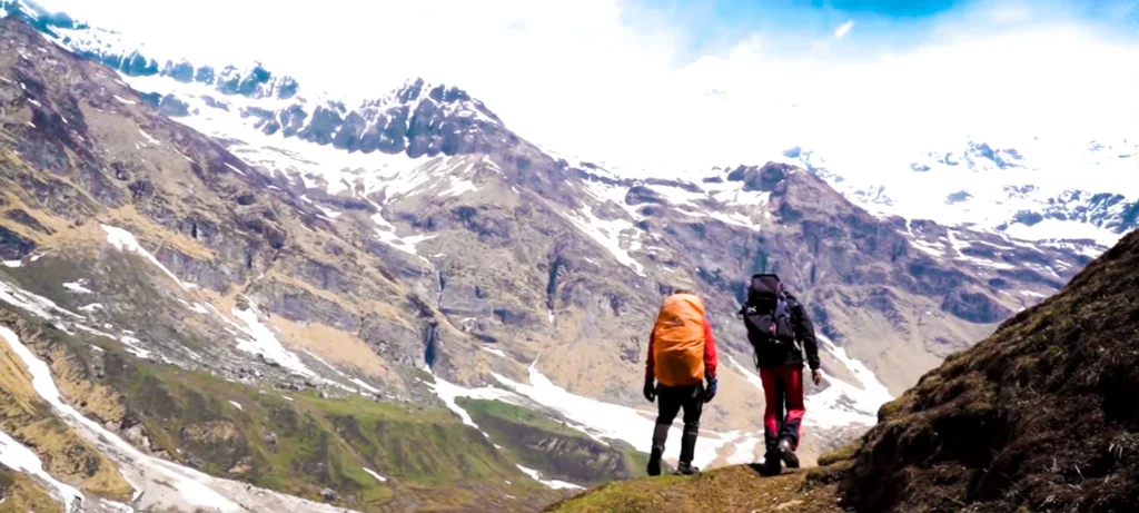
Day-1: Drive From Kathgodam To Khati Village | Enjoy The Scenic Beauty Of Kumaon
Altitude: 2200 m/ 7300 ft.
Distance: 214 km approx. | Duration: 9 to 10 hrs.
Pick up: 6 am | Pick up spot: Kathgodam Railway Station.
Day-2: Trek From Khati To Dwali | Walk By The Beautiful Pindar River
Altitude: 2,600 m/ 8,600 ft.
Trek Distance: 13 km Duration: 7-8 hr.
Altitude Gain: 400 m/ 1,300 ft.
Water Source: Multiple water sources on the trek.
Cross 6 landslide zones.
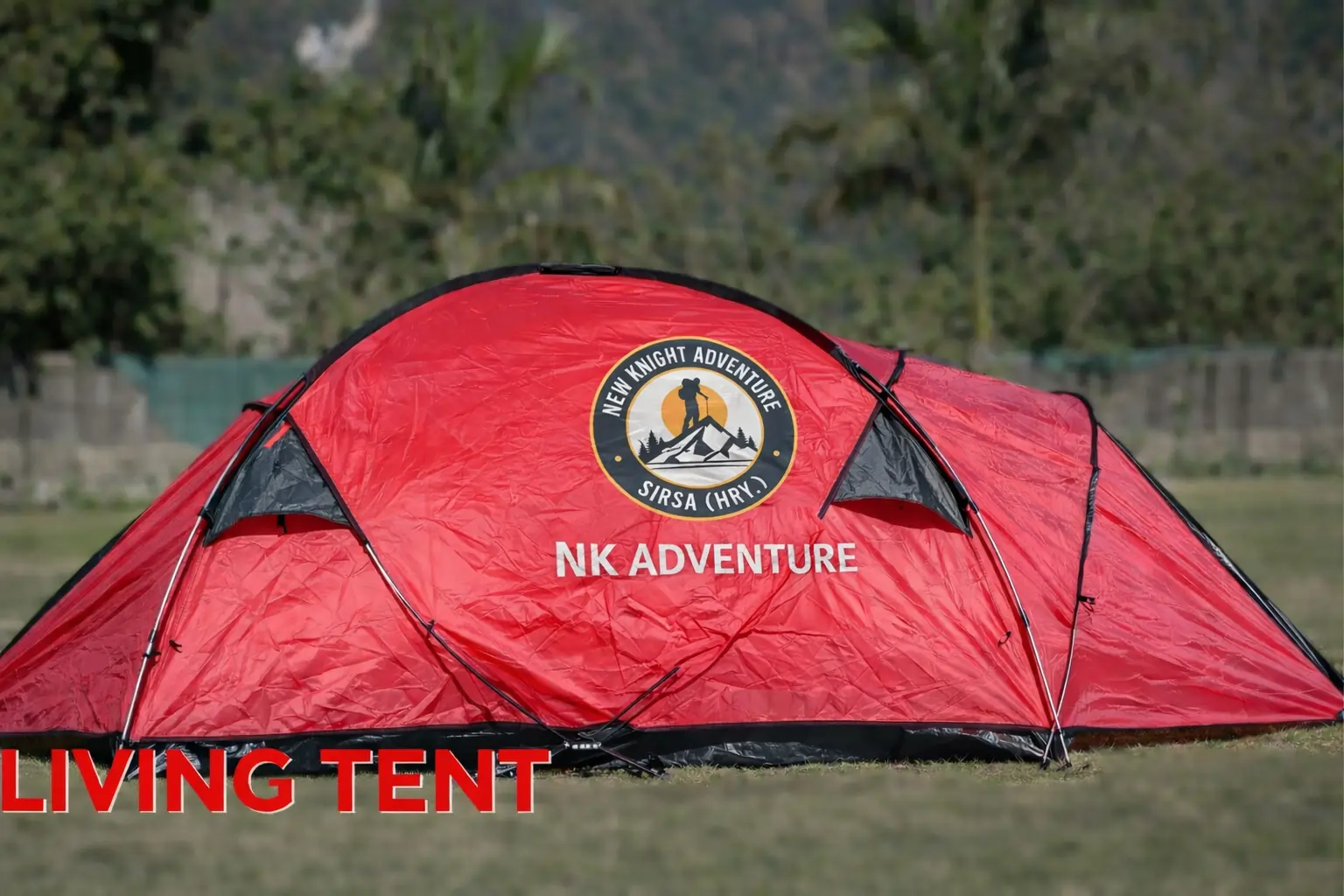
Stay in camps (twin-sharing).
Day-3: Trek From Dwali To Phurkia | Cross Spiderwalls And Frozen Streams
Altitude: 3,200 m/ 10,500 ft | Distance: 5 km | Duration: 3 hr.
Altitude Gain: 600 m/ 1,900 ft.
Flora: Rhododendron, Oak.
Fauna: Himalayan Ibex.
Cross two frozen streams.
Peak Views: Nanda Khat (6545 m), Nanda Devi East (7, 434 m).
Stay in tents (twin-sharing).
Day-4: Trek From Phurkia To Zero Point And Back To Phurkia | Summit Day
Altitude: 3,700 m/ 12,100 ft.
Distance: 16 km | Duration: 6 to 7 hrs.
Trek through the inner realms of Pindar Valley.
Peak views: Nanda Khat (6545 m), Nanda Kot (6,861 m), Mt. Bauljuri (5,922 m), and Changuch Peak (6,322 m).
Stay in tents (twin-sharing).
Day-5: Trek From Phurkia To Khati Via Dwali | Begin Descending
Altitude: 2,200 m/ 7,300 ft.
Trek Distance: 18 km | Duration: 7 to 8 hr.
Altitude Loss: 1,000 m/ 3,200 ft.
Stay in tents (twin-sharing).
Day-6: Drive From Khati To Kathgodam | Say Goodbye To The Mountains
Altitude: 2,050 m/ 6,750 ft.
Trek Distance: 4 km | Duration: 1 hr.
Drive Distance: 210 km | Duration: 9 to 10 hrs.
Drive From Kathgodam To Khati Village | Enjoy The Scenic Beauty Of Kumaon
This is the first day of your journey towards Pindari Glacier and we will meet you at the Kathgodam Railway Station. A pickup will be scheduled early in the morning around 6:00 AM, where our representatives will pick you up and drive you to Khati, your base camp for the Pindari Glacier trek. Khati is an ancient village with exciting mythological stories attached to it.
From Kathgodam to Khati it’s a scenic drive through the beautiful Kumaon region. You will pass through many scenic destinations like Bheemtal, Almora, Bageshwar, and Kapkot to arrive at the quaint hamlet of Khati. Almora and Bageshwar are two beautiful towns of Kumaon and all along the route, you will see a lot of greenery all around. Khati is the last village on the road that connects the trail to the Pindari Glacier trek route. After reaching Loharkhet, you will follow an off-trail motorable road to Khati. If you wish to withdraw cash, Kapkot is the last ATM point, there are no cash facilities in Khati.
Khati is a fairly large village and a base for backpackers. You can get clear views of Nanda Kot, Nandabaner, and Laspadhura. The locals in Khati village are very friendly and hospitable and you can chat with them and get a glimpse into the rural lifestyle. According to the folklore, it is believed that this village served as a home for the Pandavas when they were in exile. Only the BSNL network is available in some parts of the village. There is also no electricity in the village and the locals rely on solar power for electricity generation. Once we reach Khati we will stay the night at the Khati campsite. Make yourself comfortable and after dinner rest in your tents.
Trek From Khati To Dwali | Walk By The Beautiful Pindar River
Today is a long trek and we have quite a bit of walking to do so we will start our day with a hearty breakfast. From Khati to Dwali, you will cover a distance of 13 km which takes around 6 to 7 hrs depending on the speed of the trekker.
A significant part of today’s trek will be filled with the sound of gurgling water as the Pindar Ganga River accompanies you on the trek. You will cross some log bridges and beautiful waterfalls as you stride towards Dwali. You will come across many caved-in zones and landslide-prone areas in today’s trek. Many parts of the trail have been broken by the 2013 calamity and thus the trail is quite fractured, the trekkers need to be cautious and follow the instructions of the trek leader for safe passage. Weather in the Pindar Valley is quite unpredictable and is prone to rain and as such we will start early.
The initial part of the trek for about 20 minutes is a little strenuous with a steep ascent. Completing the ascent, you will get a bird’s eye view of the Khati village behind you. After another 15 minutes, the uphill gradient gradually reduces and soon you will pass by a stream. This is your first water point in today’s trek. You can fill your water bottle here if you please. The trail turns left from here passing by the KMVN guest lodges and it gradually ascends until you reach a wooden bridge, this bridge helps you cross the first landslide zone. After crossing the bridge the trail becomes quite narrow and descends rapidly and you are inside a forest cover once again. You will spot the beautiful Pindar River rushing down on your left and you will come across another steep descent. Walk downhill for 15 more minutes and the trail levels out a bit, after walking for another 5 minutes, you will arrive at the second landslide zone.
The trail in front of you is broken due to the disaster of 2013 and hence we will take a detour towards the left and climb down towards the Pindar River. Be a little cautious as the descent can be a little slippery. Once at the River, cautiously cross the bouldered landslide zone. Follow your trek leader's advice to cross the area safely. Crossing the section, you will spot a temporary trail moving up towards the same ridge that you came down from and this again connects you to the trail to Dwali. The climb up is steep and slippery and so you need to be careful. On reaching the ridge, walk straight ahead until you are in a forest ridge. Walk for about 10 minutes and you will come across another landslide zone. You have to leave the Dwali trail once again and recede down to the riverbank walking along the riverbank through moraines and mountain bends you will reconnect with the Dwali trail once again.
Walk for 15 minutes and you are again at a landslide zone, this is the fourth landslide zone on the trail. Descend to the river once again all the way to the shepherd huts and a marked trail takes you up to the ridge once again. Walk through a short stretch of forest cover and soon you will spot the fifth landslide zone down below. Get ready for another detour and probably the longest one. Descend down to the riverbed and prepare yourself to cross a difficult moraine stretch. This is a difficult part and you have to cross huge boulders and a total of 4 scissor bends before you reach the ridge once again. Locating the trail to the ridge is quite difficult as it is hidden in dense vegetation. Do not worry our experienced guides and trek leaders are here to help you see the way through. The climb to the ridge can be a little strenuous.
Once you are back on the Dwali trail, keep walking ahead for about 15 minutes and you will arrive at an uphill section, the uphill stretch is about 2 km long and you will arrive at the sixth and final landslide zone. You will have to climb down the riverbed once again, the descent here is pretty unstable as the terrain is basically loose gravel and builders. Be cautious and take precautions to avoid any accidents. Once you are down at the riverbank, you have to walk through moraines until you are at a river crossing section. Diwali lies across the River and crossing the river, you will arrive at Dwali. The destruction caused by the calamity of 2013 is quite evident here. It washed away many sections of the old trail.
We will arrive in Dwali by the evening, where you can settle down at the campsite for a beautiful panoramic view. There’s a PWD guest house near the camping spot and drinking water is also available You'll have dinner at the campsite and an overnight stay in the camps.
Trek From Dwali To Phurkia | Cross Spiderwalls And Frozen Streams
Today’s trek is fairly easy as compared to the previous days strenuous trek. After having a hot cup of tea and an earth breakfast, we will head out towards Phukria. It’s a short trek of 5 km for about 3 hrs and you will spot some beautiful Rhododendron forest on the way today. On a clear day, Mt. Nanda Devi and Nanda Khat are clearly visible in front of you. En route, you may spot Himalayan Ibex grazing in the pasturelands. Today you will come across another two stream crossings, which are nothing but layers of hard snow. Crossing through the stream, you will arrive at the Phurkia campsite. We will pitch our tents at the campsite and late in the evening, you will be served a hot and delicious meal.
Today is one of the most picturesque stretches on your trek and you will be greeted with stunning views of snow-capped mountains. The trail today leads you deep into the Pindar Valley and it soon starts to ascend upwards as you enter into beautiful Oak and Rhododendron cover. The trek has quite a few forested switchbacks as you gradually gain altitude. As you climb uphill, you will see the Pindar River flowing below in a narrow gorge. If the weather is clear, you will be able to see Mt. Nanda Khat (6545 m) and the Nanda Devi East (7,434 m) looming in the skyline ahead. Further ahead, you will see a green meadow which looks quite appealing and after about 30 minutes of walking, you will arrive here. This meadow is a great vantage point to click some nice photographs for the gram.
You will spot some glacial formations on the stream as it flows down to meet the river below. Across the river, you will get to see some Himalayan Ibexes grazing in the pasturelands near a lovely waterfall. You will now trek along this verdant grassland and cross another glacial stream to enter into another meadow, more scenic than the previous one. From the meadow, you will spot another crimson cover of Rhododendron on the top. It will take about 20 minutes to reach the forest. Entering the forest, you will have to cross a few landslide-prone patches and tricky sidewalls. Our trek leaders will assist you in crossing these difficult sections. It will take about 30-45 minutes to cross these fragmented sections safely.
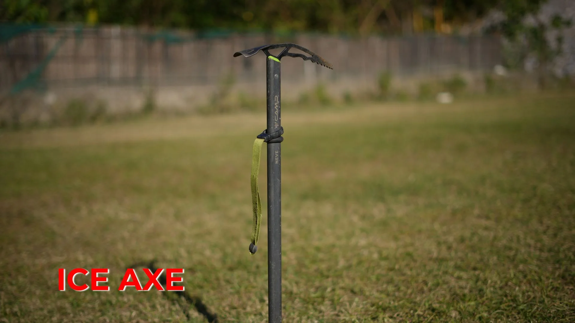
There are two final stream crossings here and these streams are nothing but hard snow and scree. An ice axe is required here to make footholds and microspikes and crampons are quite useful as well. Remain on the left-hand side of the River and soon you will arrive at the Phurkia Campsite. Look for KMVN and PWD huts for landmarks to the Phurkia campsite. At the campsite a stunning view of the Nanda Khat peak welcomes you. Pitch your tent on the slopes and after a delicious dinner at night, you can rest in your tent.
Trek From Phurkia To Zero Point And Back To Phurkia | Summit Day
Today is the most exciting day of your trek and the day you have been waiting for, it’s the summit day. Today we will head to the zero point of the summit and also descend back to Phurkia. From Phurkia, we will take the route on the left of the KMVN hut. It is an uphill hike and after trekking for about 15 minutes, you will arrive at the first stream crossing. The stream is basically a chunk of hardened snow and walks across it to enter the first meadow on your journey today. Trek straight along as the beautiful Mt. Nandakhat dominates the skyline. It is clearly visible from here and on your left, you will see the Pindar River flowing into a gorge below. After walking for about 20 minutes, you will arrive at a rockfall section. This is a pretty sensitive area, so you need to be watchful if there’s any rock falling from above. A little deep into the valley and you will notice patches of hard snow on the trail. Crampons are helpful here as the snow can be quite slippery and crampons will give you the much-needed traction. Soon we will arrive at Bhujani and then continue on towards the Zero Point. Be ready for the thrill of walking on the Pindari Glacier and enjoy a terrific summit view. We have a long trekking day in front of us, so we will start our day as early as possible to reach the summit and return back again. At 3700 m, breathtaking views of the flawless Himalayan landscape are going to leave you spellbound. Weather in Pindar Glacier can change in a matter of minutes so it is best to start early so that you reach the summit early and enjoy some great summit views.
The trail soon gets pretty difficult and before you climb on the Pindar ridge the trail is broken in several places with little foot spacing and a couple of spider wall sections. From here you can clearly see the snow-capped peak of Mt. Bauljuri (5,922 m). Crossing such tricky sections, the trail now turns right and the greenery begins to recede giving way to the snowy ridge of the Pindar Valley. The snow begins to melt from June and the trail is a little easy at that time. It will take about 40 minutes to reach the top of the ridge following a gradual ascent. You will cross a couple of rivulets on the way and these are great water sources as well. Once on the top of the ridge, look on your left and you will catch the first glimpse of the Pindari Glacier on the left. On your right, you can see the snow-ensconced Changuch peak (6,322 m).
You will cross through three ice fields and the snow can be pretty overwhelming in the months of April and May and this can slow you down on the trek. On the left-hand side, you will see a hut and a temple, this is the home of the well-known Pindari Baba, Dharmanand Ji. From here, it will take 40 minutes more to reach the Pindari Glacier Zero Point. Follow the trail straight from Pindari Baba’s hut and keep walking until you reach a moraine ridge. Cross the ridge, and climb till you reach the high point. A board at the summit reads “You’ve reached the Zero-Point”. Treat your eyes to the spellbinding views of mountain peaks like Changuch Peak and Nanda Kot (6,861 m). Spend some time at the summit, basking in the natural beauty and the feeling of accomplishment. We will then return to Phurkia in the same way that we came in. The return can be done pretty swiftly and stay the night in camps.
Trek From Phurkia To Khati Via Dwali | Begin Descending
This is your longest trekking day as you will have to trek for 18 km from Phurkia to Khati. It will take 7-8 hr to descend to Khati. From Phurkia, it takes about 2 hrs or less to descend to Dwali and it takes 4 to 5 hrs more to reach Khati. We will descend through the same route that we went up in and cross the same landslide zones on the way while walking along the banks of the Pindar River, we will reach the Khati campsite. We will stay overnight in the camps. Rest well after a long day of trekking
Drive From Khati To Kathgodam | Say Goodbye To The Mountains
Today is the last day of your journey and you will return back to Kathgodam bidding adieu to the mountains and leaving with a bagful of memories. Starting early in the morning, you will trek down from Khati to Kharkia. Its a 4 km trek and takes about 1 hr to descend. From Kharkia road-head, we will drive you back to Kathgodam and you will reach Kathgodam by evening, so make your further bookings accordingly. Drop-off is provided by TTH and is included in the cost.
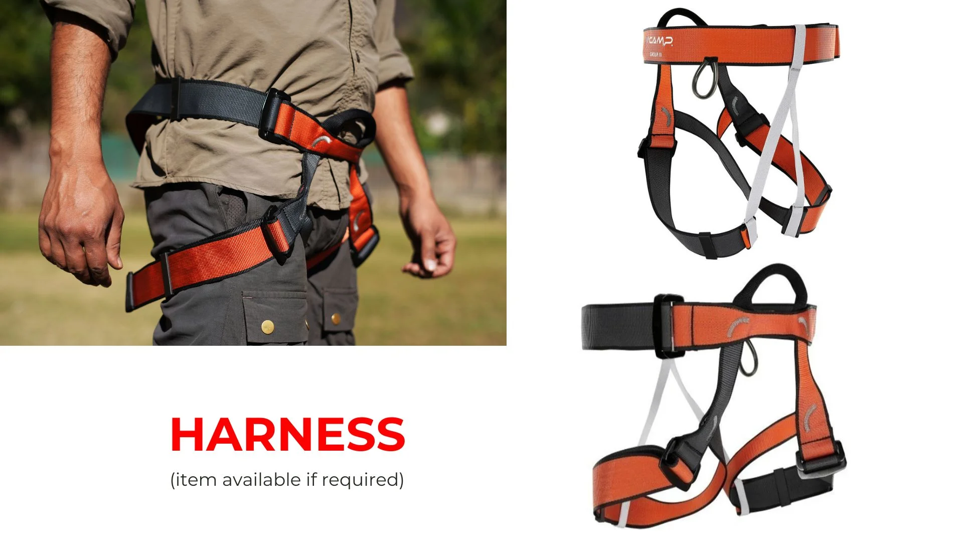
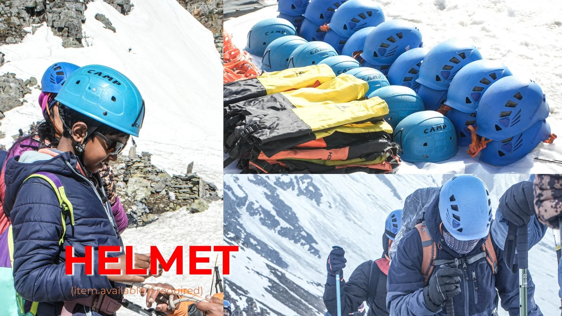
Trek Essentials
Backpack with rain cover
(50 – 60 ltr) with comfortable shoulder straps
Day pack with rain cover
20 – 30 ltr (If off-load opted)
Walking stick
Advisable (At least one)
Water Bottle / Hydration pack
2 bottles of one liter each, People who use hydration pack 1 hydration pack and 1 bottle of one liter, Carry at least one thermos flask.
Small size tiffin/lunch box
1 Nos
Snacks
Energy bars, dry fruits, electral/ors
Personal Medical Kit
Consult your doctor
T-Shirt (Synthetic quick dry)
1 Full & 2 Half sleeves
Fleece T-shirt
1 Nos
Fleece jacket
1 Nos
Windproof Jacket
1 Nos
Down feather / Hollow jacket
1 Nos
Thermal inner (Upper and Lower)
1 Pair
Trek Pant (Synthetic quick dry)
2 Nos
Fleece Pant
1 Nos
Waterproof gloves
1 Pair
Fleece / woollen gloves
1 Pair
Poncho / waterproof Jacket and pant
1 Nos
Head torch
1 Nos. (Avoid Hand torch)
Sun Cap
1 Nos
Woolen cap
1 Nos.
Balaclava
1 Nos.
Buff / Neck-gaiters
1 Synthetic & 1 Woollen
Sunglasses
UV with dark side cover, People who wear spectacles – (A)- Use contact lenses | (B)- Photo chromatic glasses
Trekking shoes
1 Pair (Water-resistant, high ankle, good grip)
Floaters / flip-flops
1 Pair
Cotton socks
6 pairs
Woollen socks
1 pairs
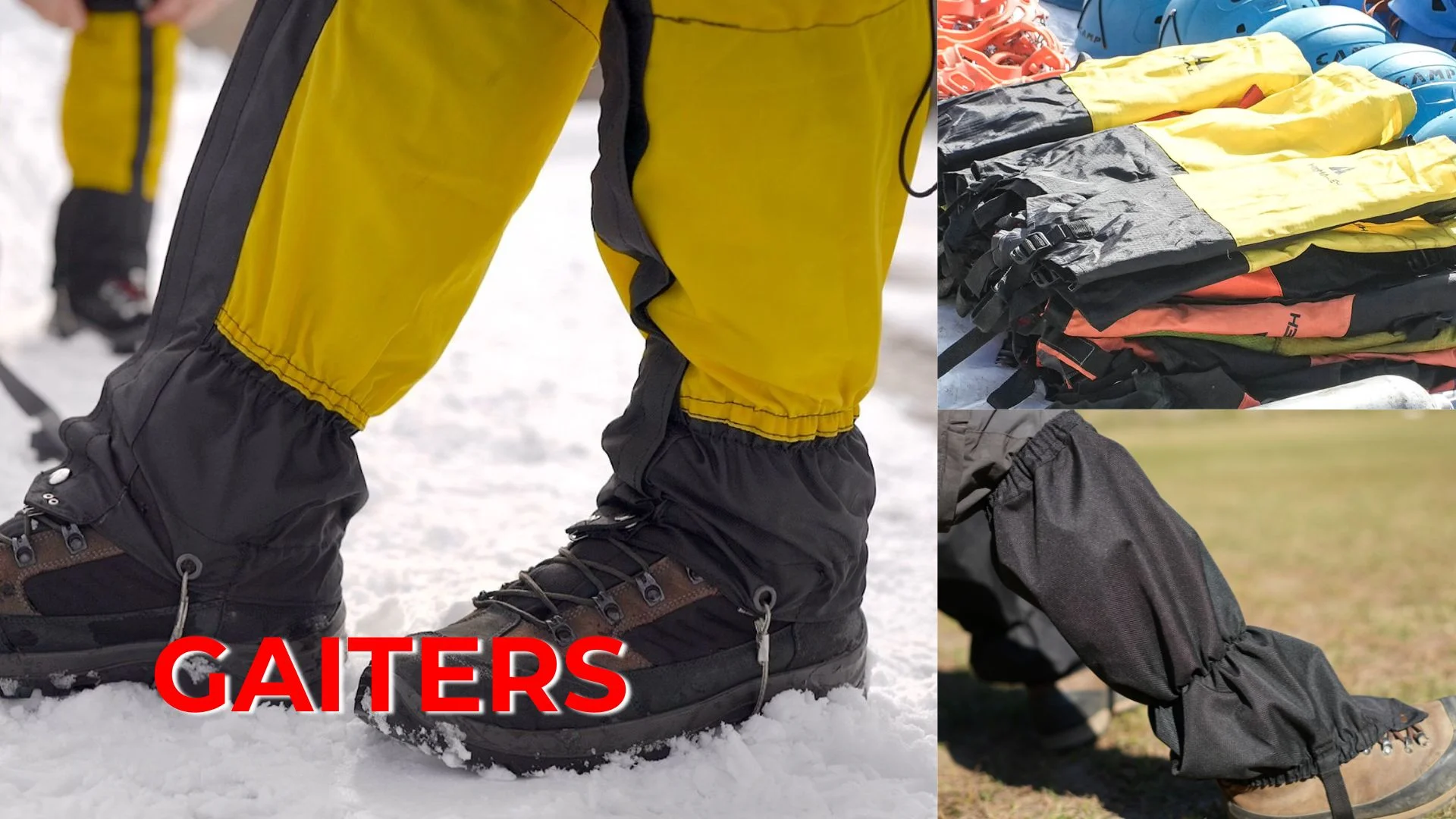
Gaiters
1 Pair (NK provides when required)
Micro spikes
1 Pair (NK provides when required)
Sunscreen
1 Nos
Moisturiser
1 Nos
Chap-stick / Lip balm
1 Nos
Toothbrush and toothpaste
1 Nos
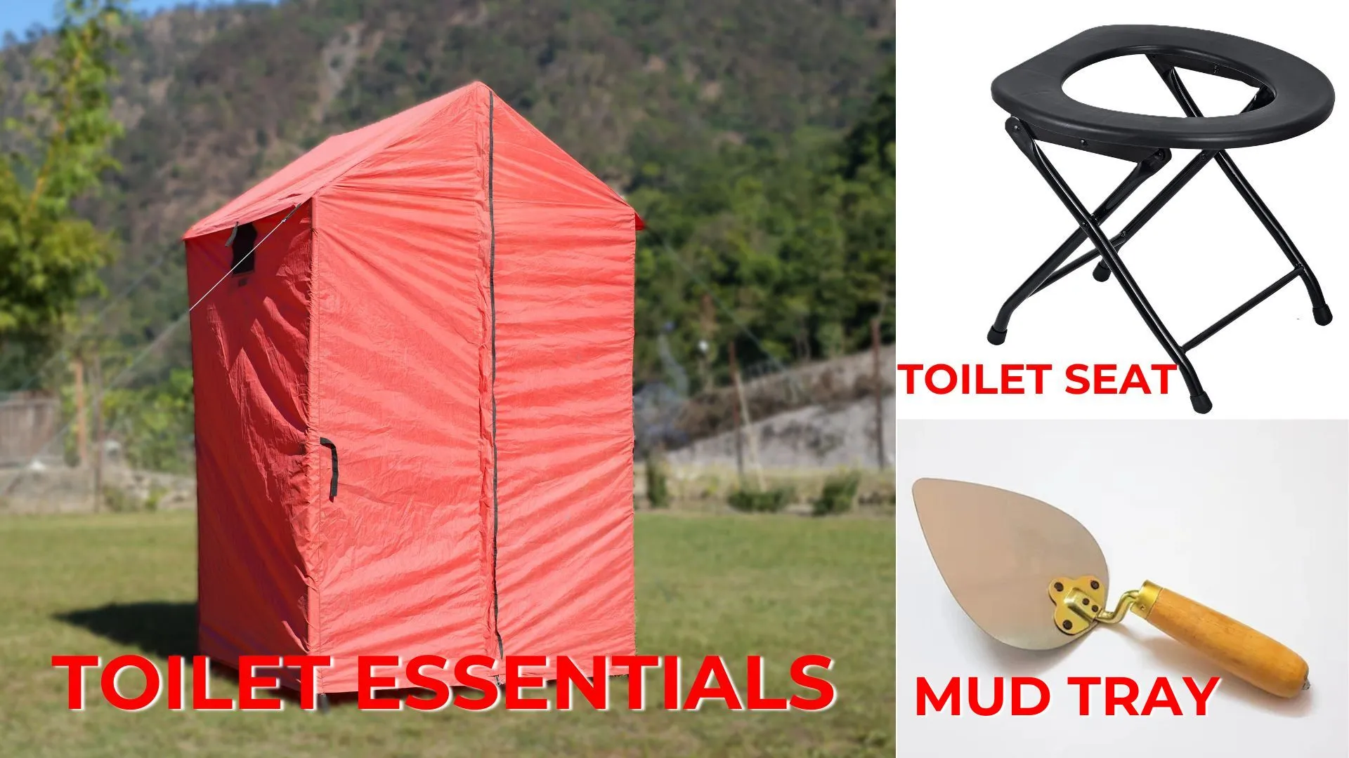
Toilet paper & Wipes
1 Nos
Soap / hand sanitizers
1 Nos
Antibacterial powder
1 Nos
Quick dry towel
1 Nos
FAQs
The Pindari Glacier Trek is a popular trekking route in the Kumaon region of Uttarakhand, India. The trek offers spectacular views of the Pindari Glacier, one of the most accessible glaciers in the Indian Himalayas. Trekkers pass through dense forests, beautiful meadows, mountain streams, and traditional Himalayan villages. The glacier sits at an altitude of about 3,820 meters and provides stunning views of peaks from the Nanda Devi range.
The total trekking distance of the Pindari Glacier Trek is approximately 50 km.
The Pindari Glacier Trek is usually completed in around 6 days.
The maximum altitude reached during the trek is approximately 12,300 ft.
The best time to do the trek is during summer (mid-April to June) and autumn (September to mid-November) when the weather is clear and the trails are most accessible.
Hiring a guide is not mandatory but is highly recommended, especially for trekkers unfamiliar with the region. A guide can help with navigation, safety, local knowledge, and arrangements for accommodation and food along the trail.
The Pindari Glacier Trek is considered a moderate-grade trek, making it suitable for beginners as well as experienced trekkers.
Accommodation includes guesthouse stays at the base camp and twin-sharing tents at various campsites during the trek.
Some other well-known treks in the region include the Kafni Glacier Trek, Sunderdhunga Trek, and Milam Glacier Trek.
Prior trekking experience is not mandatory. The trek is suitable for beginners who have good physical fitness and the ability to walk several hours a day. Basic fitness preparation such as walking, jogging, or cardio exercises is recommended before the trek.
Permits required include the Inner Line Permit, Trekking Permit, and National Park Permit. Trek organizers usually arrange these permits for participants.
Payment & Cancellation Policy:
When you have firmly decided to undertake the Tour with New Knight Adventure, you will need to book the trip with us. We must allocate enough time to prepare, obtain necessary documents and permits, and book hotels and Transport for the trip. 25% advance during the time of booking for confirmation 50% Amount one month prior of arrival in India 25% Amount to be one week prior of arrival in India
Cancellation Policy:
• If the cancellation is made 30 days before the tour starts, 25% of the full payment will be deducted and 75% will be refunded. • If the cancellation is made 20 days before the tour start, 35% of the full payment will be deducted and 65% will be refunded • If the cancellation is made 10 days before the tour start, 80% will be deducted and 20% will be refunded. • No refund is made if the trip is cancelled after the departure for Expedition. • No refund is made during the running tour. • The cost of travel permit or any other documentation charges will not be refundable
Note: New Knight Adventure do all the ground operations in advance (As soon as we received the confirmation request from the guest). We pay advance payment to all our vendors to ensure all the services that we promise with the guest.
HiHello 👋, welcome to NK Adventure (New Knight Adventure)