Trail Type: Circle trail | Camping in various locations, starting and ending at the same point.
AirPort: –
Highlights:
Services Kathgodam to Kathgodam | Included Transport
Who Can Participate
Age Requirement:
Minimum 14 years
First-timers are welcome, though prior trekking experience is preferred. Good fitness is a must.
Fitness Criteria:
The Trekker should have sufficient stamina to cover 5 km of distance by jogging in 30 minutes without stress or 10 km of distance in 70 minutes without stress
If the trekker prefers cycling he/ she should be able to cycle 18 km of distance in 50 minutes.
If the trekker wants to carry a backpack then he/she should be able to carry a 10-12 kg backpack. If opt Off-load option then the trekker should be able to carry 3-5 kg backpack.
If a trekker’s BMI is more or less than the normal range (18-27), please consult our Trek Coordinator before booking.
Itinerary
Day-1: Kathgodam to Lohajung
Altitude 7,662 ft.
Stay in guest house.
Drive 210 km (10 hrs drive).
Local market and network is available.
Pick up time 06:00 am at the parking of Kathgodham railway station.
Refill your water bottle at ruan bagad bridge from Neel Ganga river.
After ruan bagad bridge 2 hours of a steep ascent to Didna Village (2 km).
Day-3: Didna Village to Ali Bugyal
Trek 10.5 km.
8,045 to 11,320 ft.
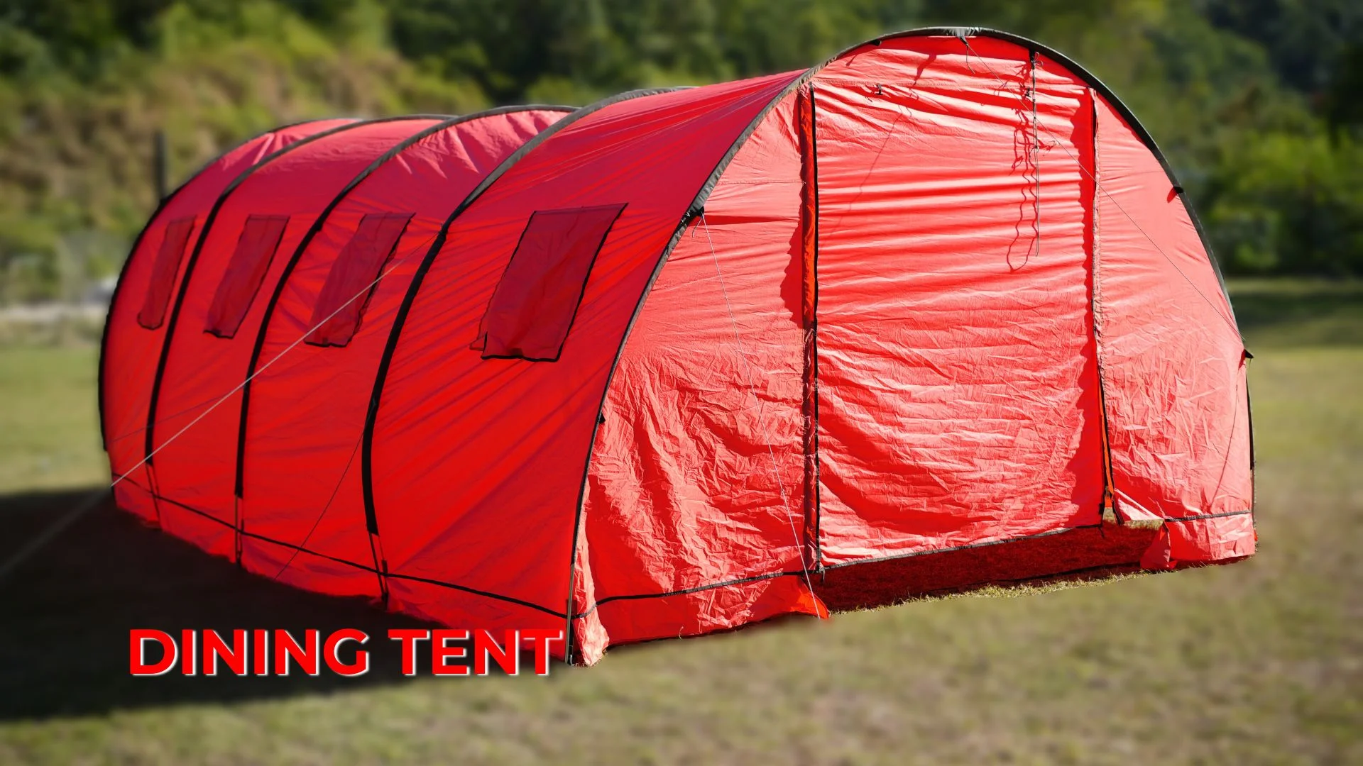
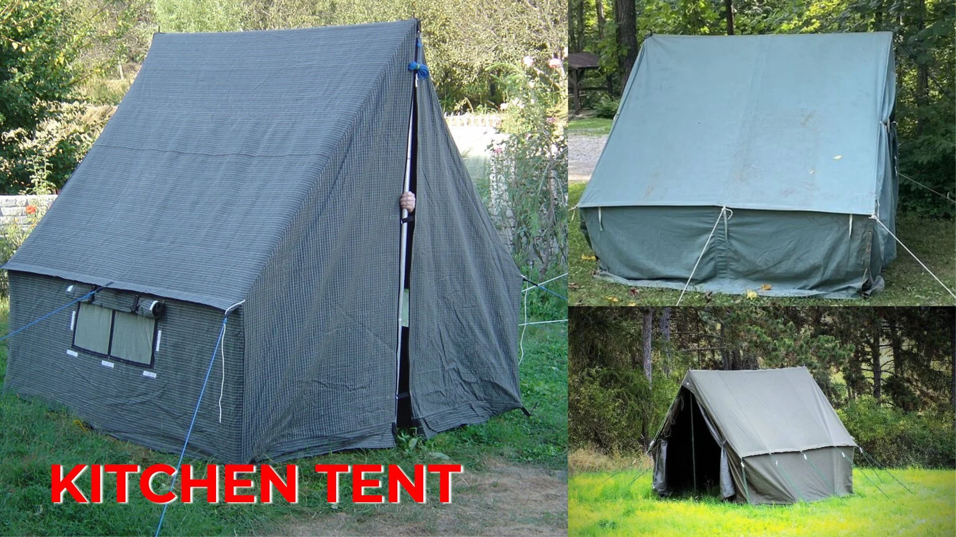
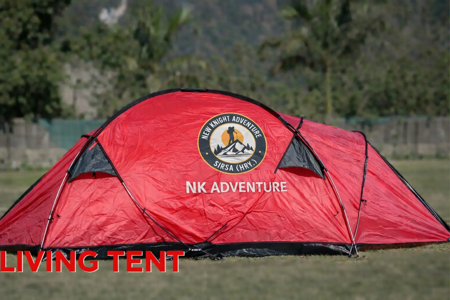
Accommodation in tent.
Carry water and ors both.
Reach Ali Bugyal by late noon.
Keep your wind and waterproof handy.
Tolpani is the last point for drinking water.
First half of is through oak and rhododendron forest (Steep ascent).
Second half of the trek is through big alpine meadows (gradual ascent).
Day-4: Ali Bugyal to Patar Nachauni via Bedni Bugyal and Ghora Lotani
Trek 7 km.
11,320 to 12,818 ft.
Easiest day of the trek.
Accommodation in tent.
Reach Patar Nachauni before lunch.
Ali Bugyal to Bedni Bugyal (gradual ascent 2 km).
Bedni Bugyal to Ghora Lotani (gradual ascent 4 km).
Ghora Lotani to Patar Nachauni (gradual descent 1 km).
Spend some time at Ghora Lotani good for acclimatization.
Ware proper clothing (this is the place where most of the trekkers get AMS).
Day-5: Patar Nachauni to Bhagwabasa via Kalu Vinayak
Trek 4 km.
12,818 to 14,117 ft.
Accommodation in tent.
Reached Camp site by lunch.
Patar Nachauni to Kalu Vinayak Tempel .
(first 1 km is gradual ascent and rest 1.5 km is steep ascent).
Kalu Vinayak to Bhagwabasa (gradual descent 1.5 km, become tricky in may and June ).
There will be snow on the trail in the month of may and jun and in sep and oct it will be a rocky trail.
Day-6: Bhagwabasa to Roopkund and back to Bedni Bugyal
Trek 10 km.
14,117 to 15755 ft.
Accommodation in tent.
Start your trek by 4:00 am.
Climb to Roopkund is 3 km.
Challenging day of the trek.
Carry energy bars, ors and water.
Breakfast will be at Roopkund top.
Reach Bhagwabasa back by lunch time.
Reach Patar Nachauni camp by evening.
In Aug, Sep, Oct can see skeleton but no snow.
In May and Jun snow will be there but can’t see the skeleton.
Day-7: Patar Nachauni to Lohajung via Bedni and Wan
Trek 15 km.
12,818 to 7,662 ft.
Accommodation in guest house.
Patar Nachauni to Ghora Lotani (1 km gradual ascent).
Ghora Lotani to Bedni Bugyal ( 4 km gradual descent).
Bedni Bugyal to Doliya Dhar ( 0.5 km gradual walk).
Doliya Dhar to Ghaeroli Patal ( 3 km steep descent ).
Ghaeroli Patal to Neel Ganga ( 4 km steep descent ).
Neel Ganga to Ranka Dhar ( 1 km moderate ascent ).
Ranka Dhat to Wan Village road head ( 1.5 km gradual descent).
Wan Village to Loharjung ( 45 minutes drive, road condition is not good).
Route :- Patar Nachauni – Ghora Lotani – Bedni Bugyal – Doliya Dhar – Ghaeroli Patal – Neel Ganga – Ranka Dhar – Wan Village – drive to Lohajung.
Day-8: Lohajung to kathgodam
10 hrs drive.
Drive 210 km.
Reach Kathgodam by 6:00 pm.
On the way to Kathgodam at Kausani you can buy herbal tea and some souvenir.
Roopkund trek in Seasons.
Summer Treks (April, May, June) 1. Less colder. 2. More windy. 3. Weather is unpredictable. 4. Cant see human skeleton. 5. Roopkund is in frozen condition. 6. Higher camps covered with snow. 7. Natural source of drinking water are easily available. 8. Best for those who want to see snow and want to do a difficult level of trek.
Autumn Treks (September, October, November) 1. Less windy. 2. More colder. 3. Mostly clear weather. 4. Can see human skeleton. 5. No snow at any camp site. 6. Roopkund lake is properly visible. 7. Natural source of drinking water are limited. 8. Best for those who want to see greenery and want to do moderate level of trek.
Kathgodam to Lohajung
The journey will take not more than 10 hours, which includes one or two breaks. The serpentine road goes through the region of Kumaon and covers deep valleys of Shivalik mountain ranges. The road will take you to Gwaldam which lies under the administrative district of Garhwal. The road goes through coniferous forests and unrelenting curves. Though there is a direct road from Gwaldam to Deval, the final destination of the day, it is not preferred due to damages at various places due to the yearlong rains. Via Nandkesri the distance to be covered is less, around 11kms, but it is better to walk on a longer, but safer trail through Tharali, which is around 36kms. Around 2 hours of the ride will take you to Deval, a village with all provisions of purchasing food and kerosene required for the rest of the journey. The days last stretch of the journey is from Deval to Lohajung. The extremely curvy and winding road gains considerable height. The roads are so thrilling to drive on that sometimes even the slightest of oncoming cars and trucks send Goosebumps. It is generally rainy and foggy most of the time and temperatures remain very cold. The night is spent at a tourist rest house or nearby lodges.
Lohargunj to Didna Village
The actual trek begins today. After a good home prepared breakfast, the walk starts on the level ground with slight ascent on the jeep road; the road goes till the village of Wan. An hour and a half walk on the flat surface will take you to Kulling, which is located at a distance of around 6km form Lohajung. Kulling is a peaceful village in the district of Garhwal, with a small pool of the population; it is filled with the beauties of nature. Exotic birds can be spotted very easily; the air feels crisp and fresh. After a break at Kulling, you take a right turn and gradually descend towards the village. At the start, you will notice a narrow concrete plain which cuts through houses and fields and takes you to a small stream. This small stream is fed by Neel Ganga. You descend further till you reach the bed of Neel Ganga. Go ahead and cross the cemented bridge and then start climbing the ridge on the right side of the bridge. The road ahead is moderately steep and ends at the village of Didna, situated at an altitude of 2450mts, 8000ft. The trail encompasses evergreen alpine forests and trees which are huge in size. After a climb of around two hours, you reach the top of the ridge; the view ahead is magnificent. It is surprising to find huge open lands at such a high altitude on the lap of the mountains. There are two villages very near to each other Didna and Kuling, basically they host the same type of people and trekkers. The first village is habited during the summer and monsoon months while the second one is popular during winter. The days trek is over at around 3pm, after which a hot lunch is enjoyed. Total distance covered during the day is approximately around 10kms, and the night is spent in a traditional guest house.
Didna Village to Ali Bugyal
Today's trek involves trekking through the beautiful village of Ali Bugyal, which located at an altitude of 3400mts or 11000ft, is one of the highest inhabited locations of the country. Ali Bugyal is on top of the mountain and is clearly visible from the backdrop of Didna. The trek will take you to climb on top of this mountain, after the start the trail will take out of the village. On the right, the trail is slightly ascending with a very gentle gradient. On the way, temporary settlements of local shepherds known as Tolpani and their huge herds of sheep are a site to behold. They are very friendly and warm in welcoming people; you can even share their lunch, which they think as a friendly gesture. On the other hand, the trail on the left side is short in length but is steeper. But it doesnt really matter which trail you take, eventually both of them will take you to the same destination. Oak, Birch, and Rhododendron trees are the only trees that grow in these areas, and are magnificent and huge in size. According to locals, anyone visiting the place during the spring season can see the unbelievable view of the valley covered with thousands of Rhododendron flowers in vibrant colours. After reaching the mountain top, the tree line gradually recedes, and the plain grasslands start. The climb takes around 3 to 4 hours, after which right in front of your eyes, the Himalayas most attractive meadows, Ali Bugiyal welcomes you. The view is very similar to the default wallpaper of Windows XP and is a treat for the eyes. During summer months, wild horses and cows graze the fields which are filled with vast stretches of grass and flowers of various bright colours. On a clear weather, it is easy to spot the peaks of Trishul and Mrighthuni, the tallest mountain peaks in this part of the Himalayas. The mighty Trishul beckons to be climbed upon and feels as there is some hidden energy which attracts towards itself. After crossing the meadows, there comes a small face on the way, and another half an hour of trekking will take you to Bedni, the camping spot for day 3. After lunch, visit the nearby temple in Bedni Kund, if the weather is clear you might be able to view the Garhwal Himalayan ranges at its glory.
Ali Bugyal to Patar Nachauni via Bedni Bugyal and Ghora Lotani
Today being the 4th day of the trek you can have the choice of starting a bit late and sleeping a little bit extra. Your next camping location is Gora Lutani, which is a perfect camping spot. Keep on walking and enjoy the picturesque locations in the adjoining area. Along the way, you will come across Patat Nacholi, a rather unused and vest able landmass. This day you will make steep altitude gain from around 12,500ft to 14,500ft. The high altitude and the long continuous walks will make your legs hurt, and you will also start feeling the effects of the weather changes and the thin air will make breathing difficult. But don't worry; the wonderful surroundings will give you enough motivation to reach your destination. The positive vibes flowing in the air lets you forget all your troubles. After a travel of around 10kms, the campsite for the day is reached. Ghora Lotani will give you a good night's sleep, but the next morning waking up early is very crucial as it is going to be an exciting day ahead.
Patar Nachauni to Bhagwabasa via Kalu Vinayak
Wake up early and brace yourself for the longest day of trekking. Have a filling breakfast and dont forget to do a few stretches. It should be kept in mind that today; the trekking will approximately cover 10kms and that too on a steep slope. Walk towards Bagubasa, located around 14000ft above the sea level. This road will also take you across Kalyuvinayak temple. The most thrilling part to see the temple is to travel up 2kms, also equivalent to gaining an altitude of around 200ft. The path leading to this temple is very uneven and zig-zag in shape. It is essential that proper safety gear and clothing is ensured before the days trek is even started. The walk should be done very slowly and carefully; one small slip and anyone can get hurt very badly. But since there is no gain without pain, the gifts await you at the top. It is difficult to understand how someone could create the temple at such a height. The temple is basically traditional in design and construction and has been there for centuries. As the altitude increases, the air gets thinner, and the quantity of oxygen also decreases, this might lead to headaches and acute stomach pain, but don't worry, take some rest for a while. The temple is carved out of stones with ultimate precision and perfection; it installs divine intervention in your mind. From the temple, you can view Roopkund, the final trekking destination. The view is just magnificent one with shining and sparkling Trishul on one side and bell shaped Nandagunti on the other. You further follow up the uneven trail leading to Bhaguabasa at 1km distance from there. The region has its own specialities, flowers that bloom only during the monsoon months. You currently stand at a very high altitude of 14000ft and the terrain seems to look rough and not so easy to traverse.
Bhagwabasa to Roopkund and back to Bedni Bugyal
Start early on this day to reach the mega destination – Roopkund. At an altitude of more than 16000ft, it is surely the highest point on the trek. Though the path is not that complicated to climb, but even the 4km walk will take a breath out of you and tire you like hell. But no trekking is easy, right? During monsoon, the snow covering this area is very less and shallow, which makes the path reveal itself properly. From Bhaguabasa, your first checkpoint is Chhirianag which means ladder like snake. From this place, the next point lays Roopkund – The mystery island. The lake of skeletons is one of the most mysterious places in the world. Till date, even archaeologists, and scientists are not able to find out how there were so many skeletons on the bed of the lake. There are theories and fables which state that once a king and his fellowmen were going to Nanda Devi, and, unfortunately, a severe hailstorm led to their deaths. If you are extremely lucky, then from the edge of the lake you can clearly see somewhere around 300 human skeletons. This view in itself is breath taking and people go crazy after seeing this. From this place, the trek will be along a hard and steep terrain. After the steep climb gets over, you will find the Nanda Devi temple. This is very near to the Nanda Devi Biosphere reserve. A perfect site for taking good snaps with friends and other fellow trekkers. Depending upon the weather and the co-climbers conditions may decide to risk on the Junargali pass which stands 16700 feet from sea level. Without any meteorological interference, you would need about 45 minutes to climb. You will have to pass through Bhagwabasa on the return journey. These places are filled with sheer exhilaration and thrill. The descent along the path is twice difficult that of the ascent it is so steep that one might have the feeling of falling down from the top. Move along to discover a cave like structure called as Bhagwabasa or the abode of the tiger. You further climb down to reach PatarNachuni about 12500 above ground level. You continue backwards through Ghora Lautani back to Bedni Bughyal. Your day will end at the campsite amidst lush greenery. This trip is one of the longest, covering over a distance of 15km taking about10-15 hours for completion. The legs will push you to deep sleep as they need a lot of rest. But before going to bed, do realize the whole trek was not at all easy and requires a whole lot of determination and courage to complete it.
Patar Nachauni to Lohajung via Bedni and Wan
Day 7 is probably the last day of the trek where you will have to walk and return to the camp site at Day01. Descending and climbing up are two things that are very different, though the path remains the same. This time you travel on the right side of the trail and it seems a simple path as compared to the previous days strenuous affair. For the first time, you will see wooden huts dotted along the path. After travelling a little more, you are now able to see the road dividing itself into two lanes. You need to take the one which leads to right. It goes down and down, and as you descend further you can again see that you have entered the forest region with trees all along the lane. The bird tweeting and the cool aiwin past your ears are a treat that you will rarely get to feel. Due to the varying slope, trekkers are cautioned to take each and every step very carefully; otherwise one might end up hurting themselves. Shortcuts though may look rewarding must be avoided as much as possible as the terrain is pretty rough. After walking a few more yards you near an opening inside the dense forest called the Gahroli Patal. You continue our journey till you reach the banks of the river of Neel Ganga. Once you reach the river bed, your journey continues, till you reach the wan village called Ran ka Dhar. The village of Wan is the next stop after which you descend further. Wan feels like very much at home, a big village with hills and mountains covering the edges, a view to cherish all your lives. As you travel a few more yards at the road and you find the car waiting to pick you up. The distance covered for the day for the descent is nearly 18km and requires about 10 hours. It needs an hour from Wan to reach Lohargunj. The road taken by car is rocky. Once you reach back the tourist guest house you can rejoice all the memories of the trip and comfortably sleep on the warm bed.
Lohajung to kathgodam
Wake up early in the morning; have a nice cup of tea and an awesome hillside breakfast. Today you will leave for Lohargunj, along with all the beautiful and unforgettable memories pack your own stuffs and luggage. Your cab will drop you at the Kathgodam railway station. The car journey will take something around 10 hours, and do make sure that you are carrying mint and tablets which prevent nausea. From Kathgodam railway station, you will find trains to various locations. Board your respective train and take along a healthy experience with memories that will never fade away.
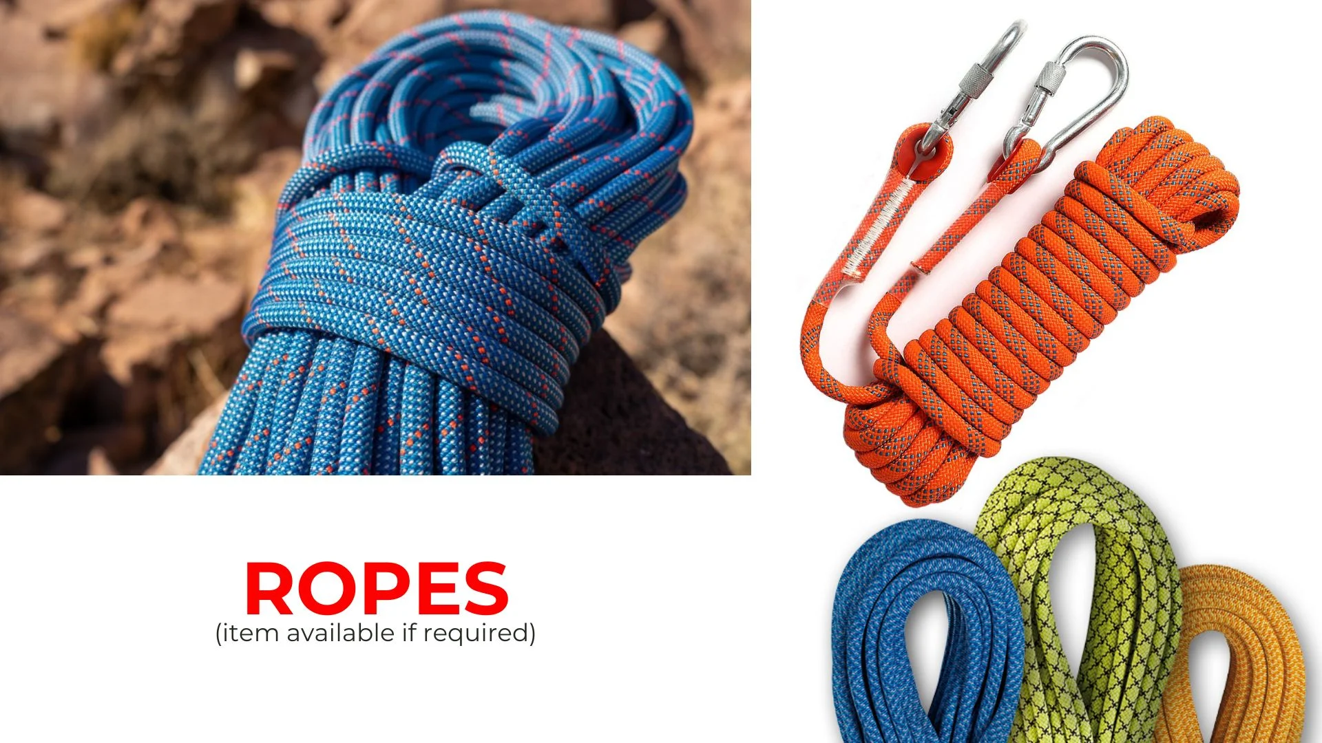
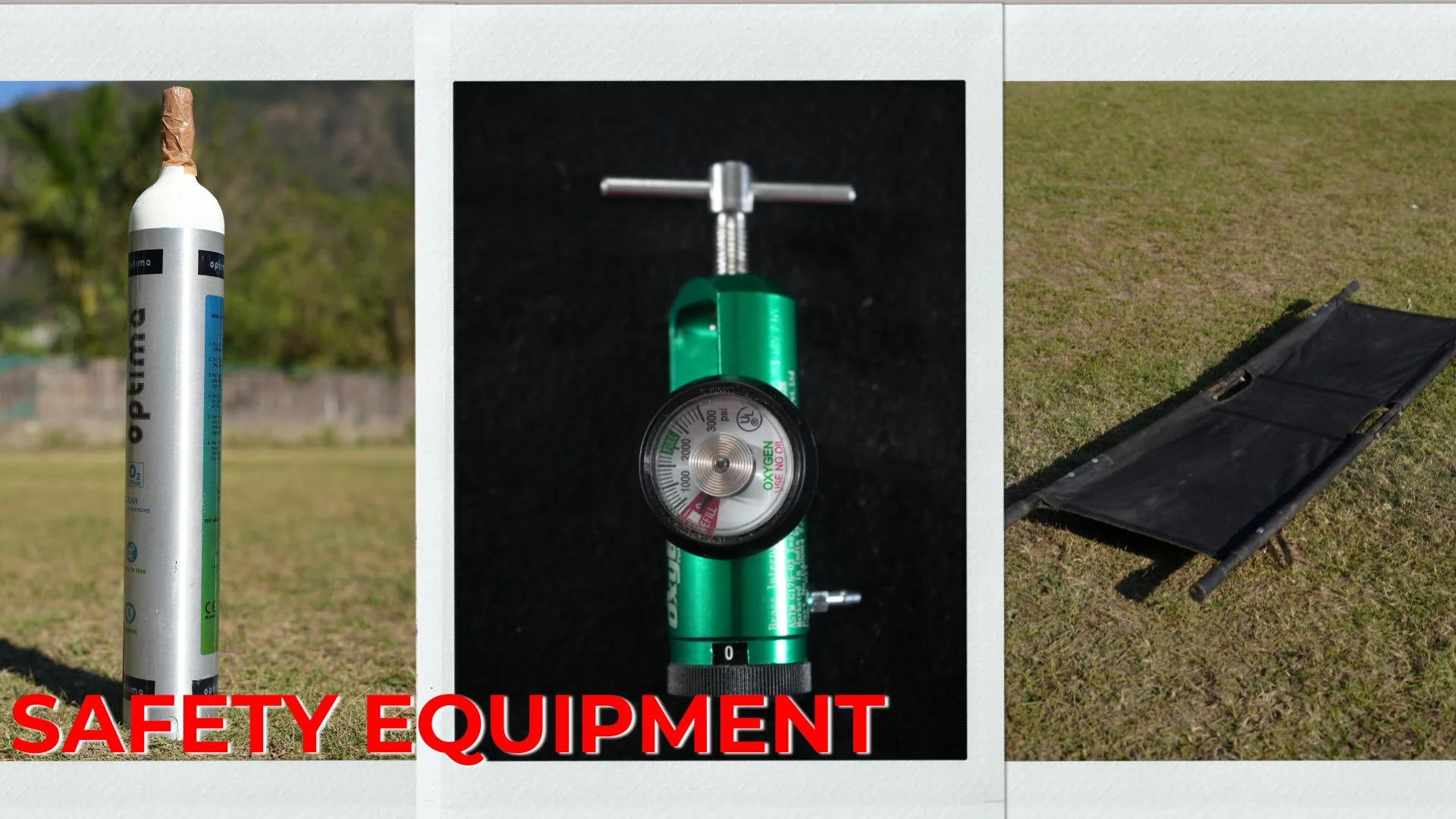
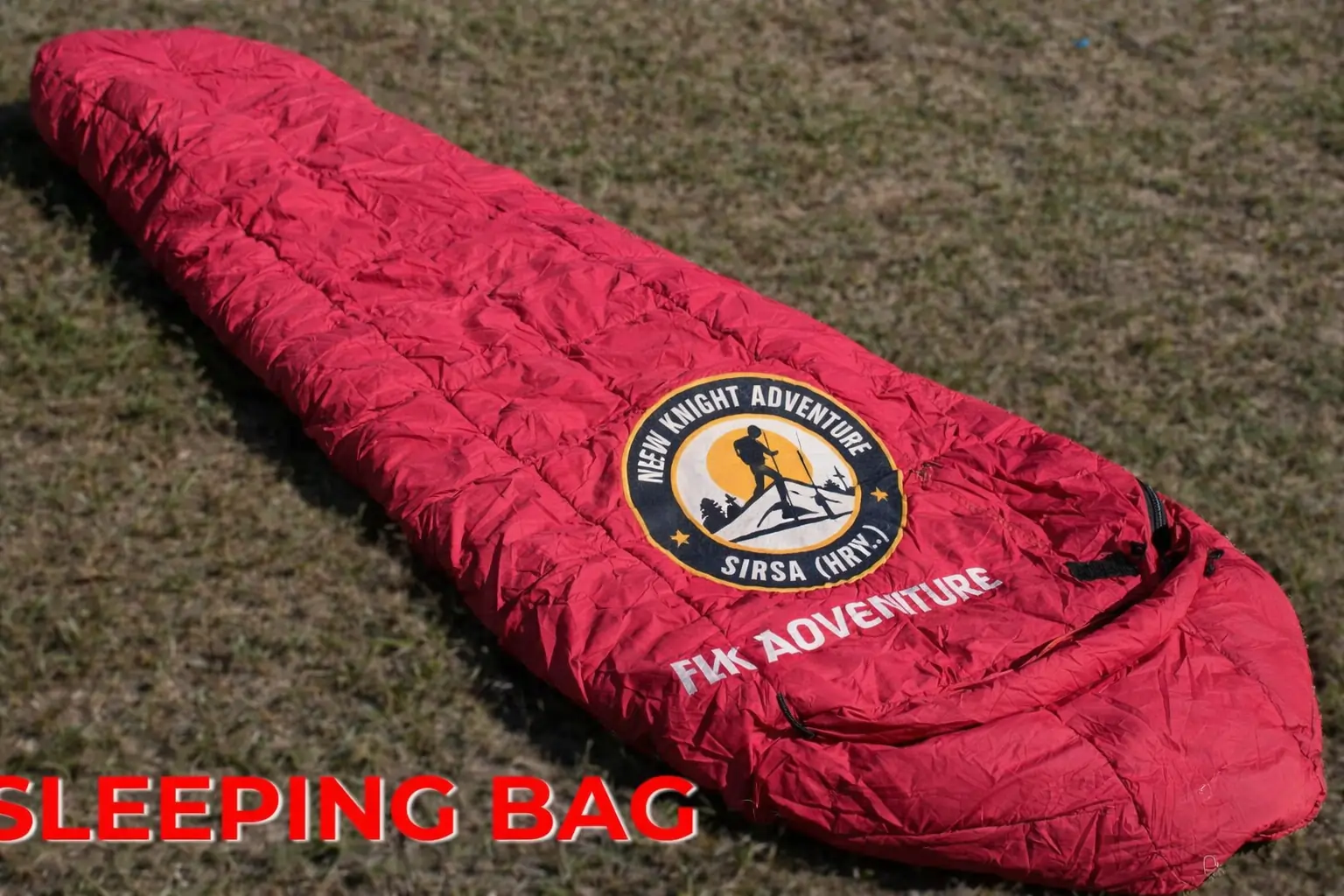
Trek Essentials
Backpack with rain cover
(50 – 60 ltr) with comfortable shoulder straps
Day pack with rain cover
20 – 30 ltr (If off-load opted)
Walking stick
Advisable (At least one)
Water Bottle / Hydration pack
2 bottles of one liter each, People who use hydration pack 1 hydration pack and 1 bottle of one liter, Carry at least one thermos flask.
Small size tiffin/lunch box
1 Nos
Snacks
Energy bars, dry fruits, electral/ors
Personal Medical Kit
Consult your doctor
T-Shirt (Synthetic quick dry)
1 Full & 2 Half sleeves
Fleece T-shirt
1 Nos
Fleece jacket
1 Nos
Windproof Jacket
1 Nos
Down feather / Hollow jacket
1 Nos
Thermal inner (Upper and Lower)
1 Pair
Trek Pant (Synthetic quick dry)
2 Nos
Fleece Pant
1 Nos
Waterproof gloves
1 Pair
Fleece / woollen gloves
1 Pair
Poncho / waterproof Jacket and pant
1 Nos
Head torch
1 Nos. (Avoid Hand torch)
Sun Cap
1 Nos
Woolen cap
1 Nos.
Balaclava
1 Nos.
Buff / Neck-gaiters
1 Synthetic & 1 Woollen
Sunglasses
UV with dark side cover, People who wear spectacles – (A)- Use contact lenses | (B)- Photo chromatic glasses
Trekking shoes
1 Pair (Water-resistant, high ankle, good grip)
Floaters / flip-flops
1 Pair
Cotton socks
6 pairs
Woollen socks
1 pairs
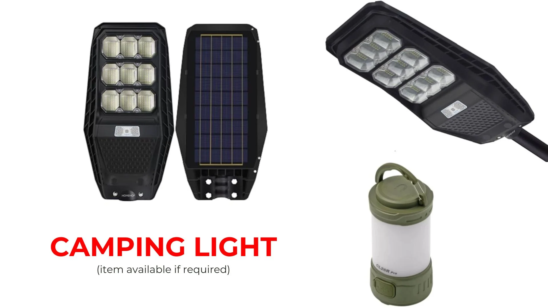
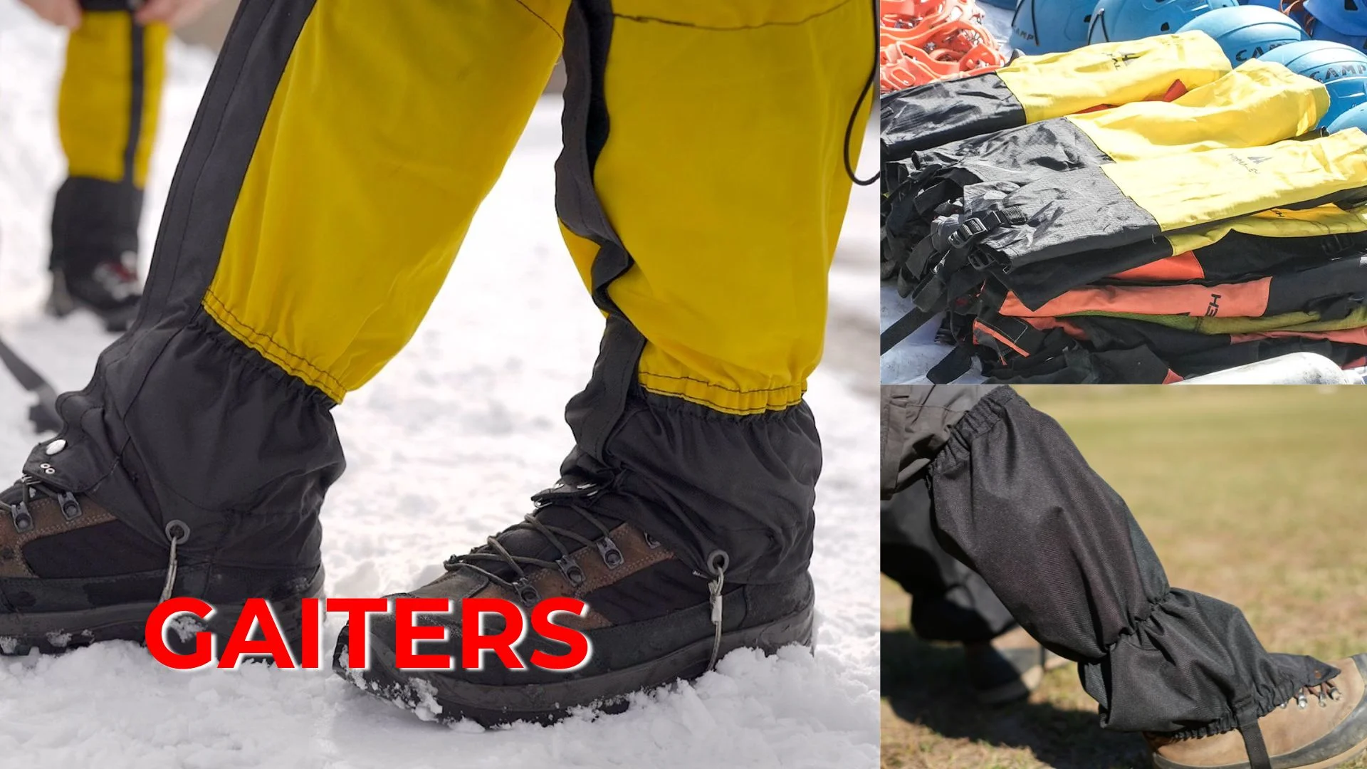
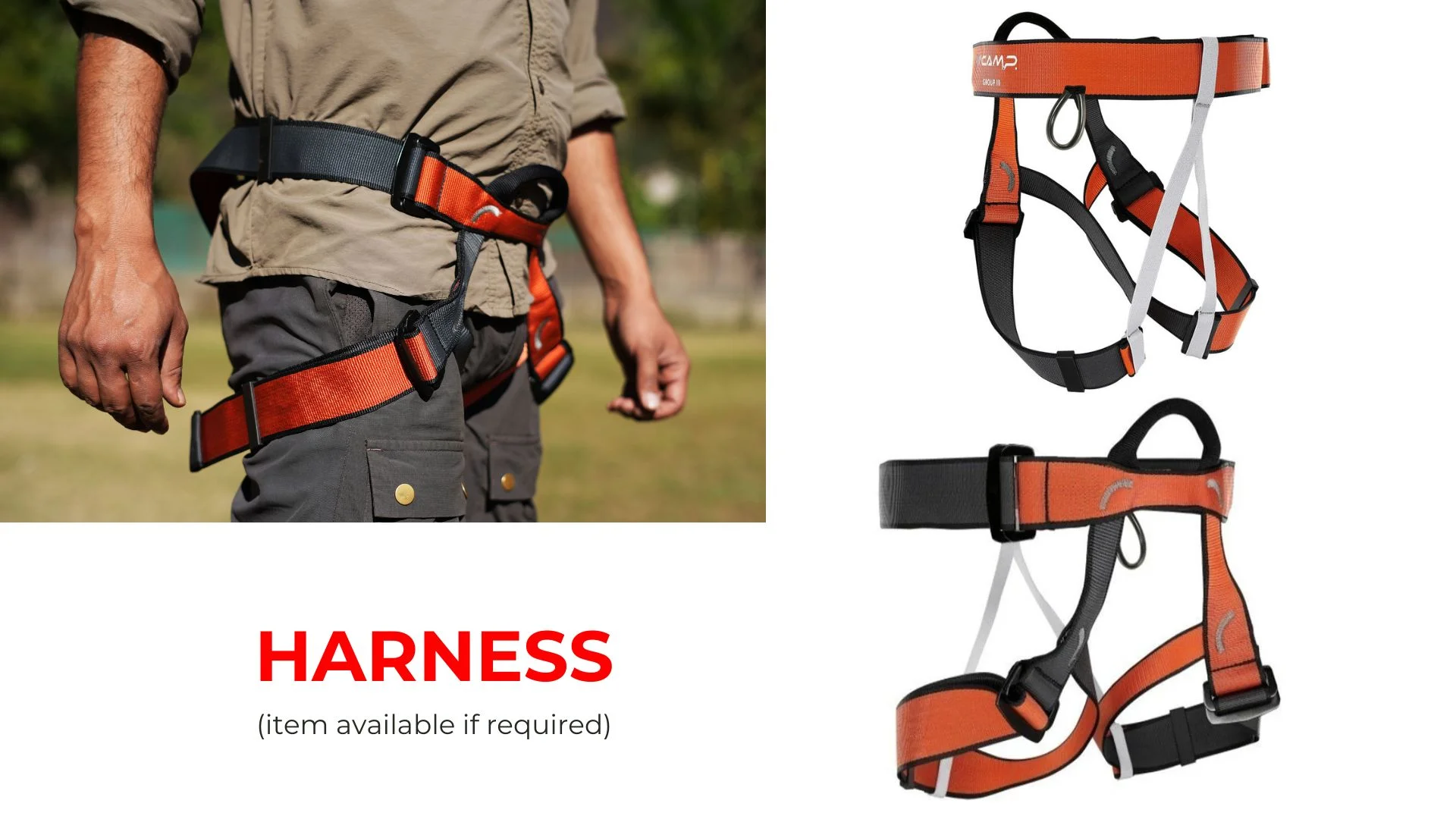
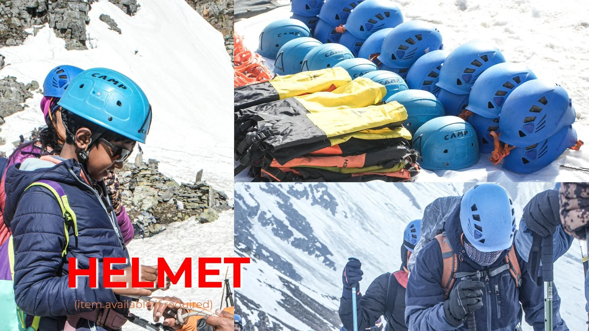
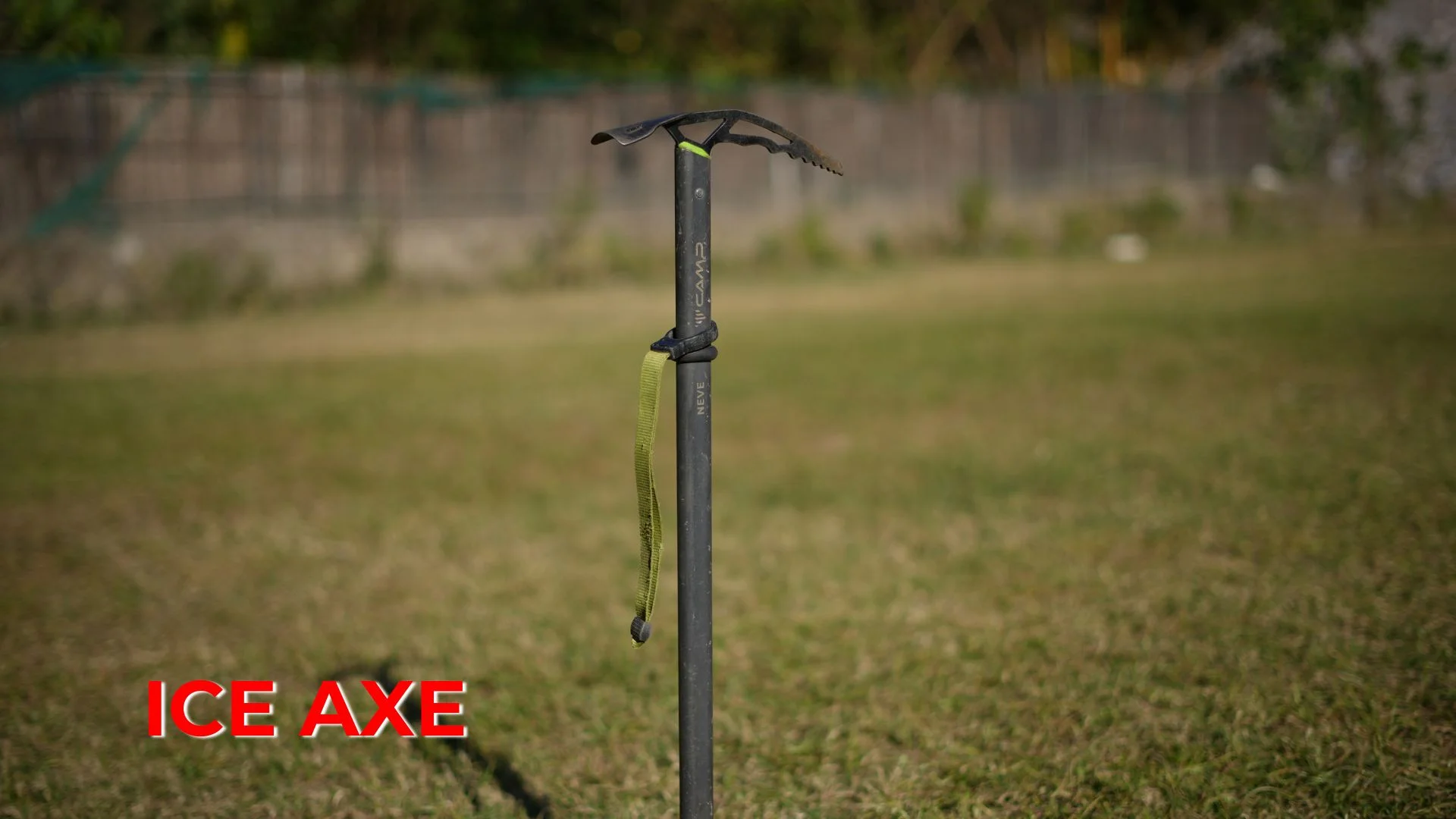
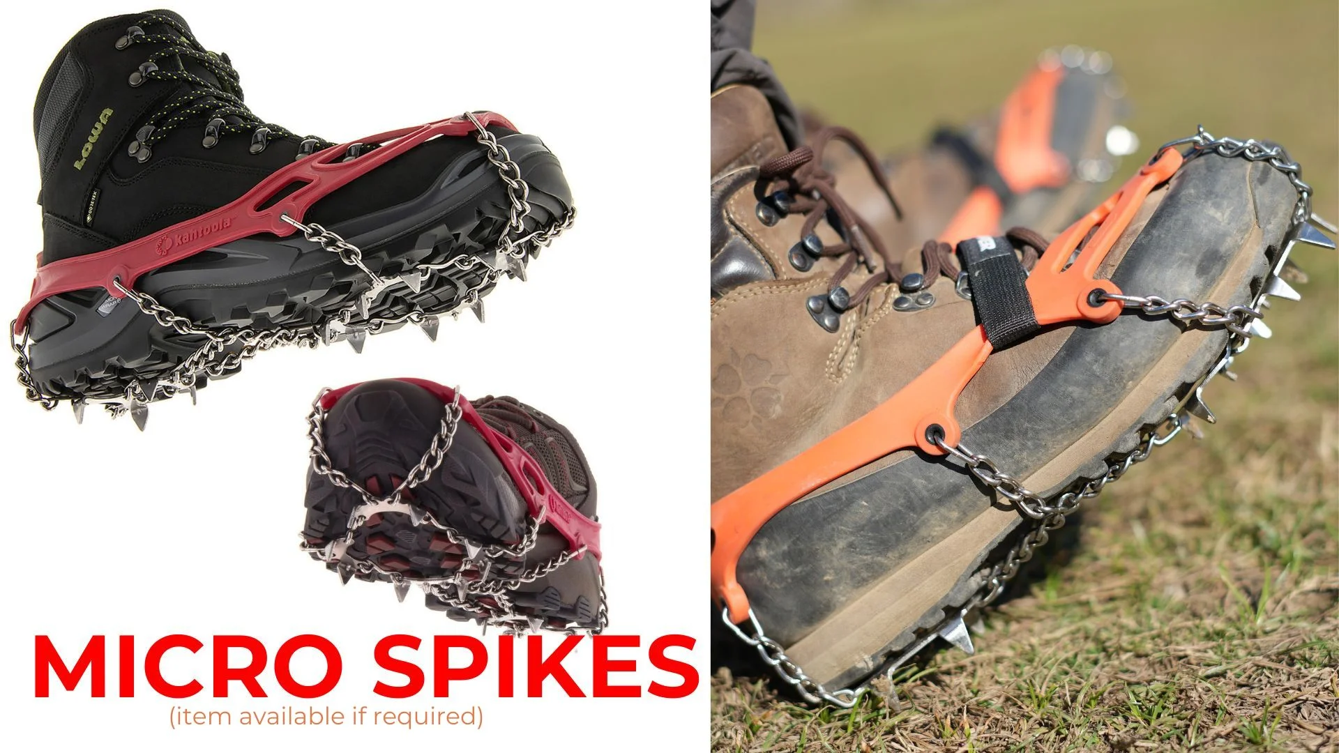
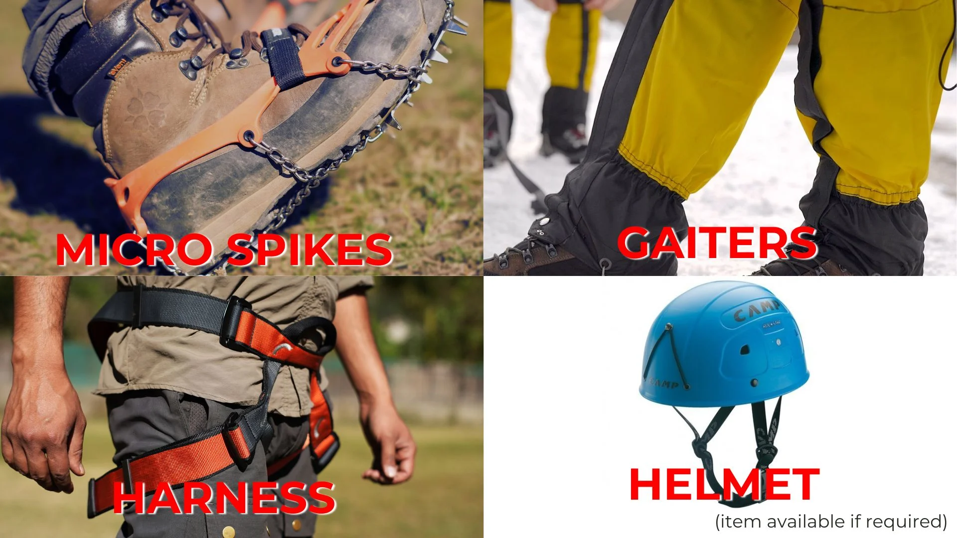
Gaiters
1 Pair (NK provides when required)
Micro spikes
1 Pair (NK provides when required)
Sunscreen
1 Nos
Moisturiser
1 Nos
Chap-stick / Lip balm
1 Nos
Toothbrush and toothpaste
1 Nos
Toilet paper & Wipes
1 Nos
Soap / hand sanitizers
1 Nos
Antibacterial powder
1 Nos
Quick dry towel
1 Nos
FAQs
The Roopkund Trek is a famous Himalayan trek in Uttarakhand known for the mysterious Roopkund Lake (Skeleton Lake), located at an altitude of about 15,696 ft. The trek passes through dense forests, alpine meadows, glacial valleys, and traditional Himalayan villages. The lake is surrounded by snow-capped peaks and is famous for ancient human skeletons discovered near its shores.
The Roopkund Trek covers a distance of approximately 53 km.
The Roopkund Trek usually takes around 8 days to complete.
The best time to do the trek is during summer (mid-April to June) and autumn (September to mid-November).
The maximum altitude reached during the trek is approximately 15,696 ft.
The Roopkund Trek is considered a moderate to difficult level trek.
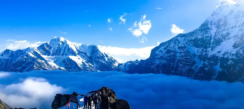
Mysterious Roopkund Lake (Skeleton Lake)
Views of peaks like Chaukhamba, Kedarnath, Kedar Dome, and Neelkanth
Camping in beautiful Himalayan meadows
Dense forests and alpine landscapes
Accommodation usually includes guesthouse stays at the base camp and twin-sharing tents during the trekking days.
Yes, the trek is safe when done with experienced guides and proper trekking support. It is important to follow safety instructions and trekking guidelines provided by the trek leader.
Trekking shoes with good grip and ankle support
40–50 liter backpack
Warm clothing including thermals and a down jacket
Rain jacket and rain pants
Quick-dry trekking pants
Headlamp or flashlight with spare batteries
Reusable water bottle
Sunglasses and sunscreen
Basic first aid kit
Personal hygiene kit
Prior trekking experience is recommended because the trek involves steep climbs, high altitude, and long trekking days. However, beginners with good fitness and proper preparation can attempt it with professional guidance.
Yes, hiring a guide is highly recommended, especially for beginners. Guides help with navigation, safety, and provide valuable knowledge about the terrain and weather conditions.
Payment & Cancellation Policy:
When you have firmly decided to undertake the Tour with NK Adventures, you will need to book the trip with us. We must allocate enough time to prepare, obtain necessary documents and permits, and book hotels and Transport for the trip. 25% advance during the time of booking for confirmation 50% Amount one month prior of arrival in India 25% Amount to be one week prior of arrival in India
Cancellation Policy:
• If the cancellation is made 30 days before the tour starts, 25% of the full payment will be deducted and 75% will be refunded. • If the cancellation is made 20 days before the tour start, 35% of the full payment will be deducted and 65% will be refunded • If the cancellation is made 10 days before the tour start, 80% will be deducted and 20% will be refunded. • No refund is made if the trip is cancelled after the departure for Expedition. • No refund is made during the running tour. • The cost of travel permit or any other documentation charges will not be refundable
Note: NK Adventures do all the ground operations in advance (As soon as we received the confirmation request from the guest). We pay advance payment to all our vendors to ensure all the services that we promise with the guest.
HiHello 👋, welcome to NK Adventure (New Knight Adventure)